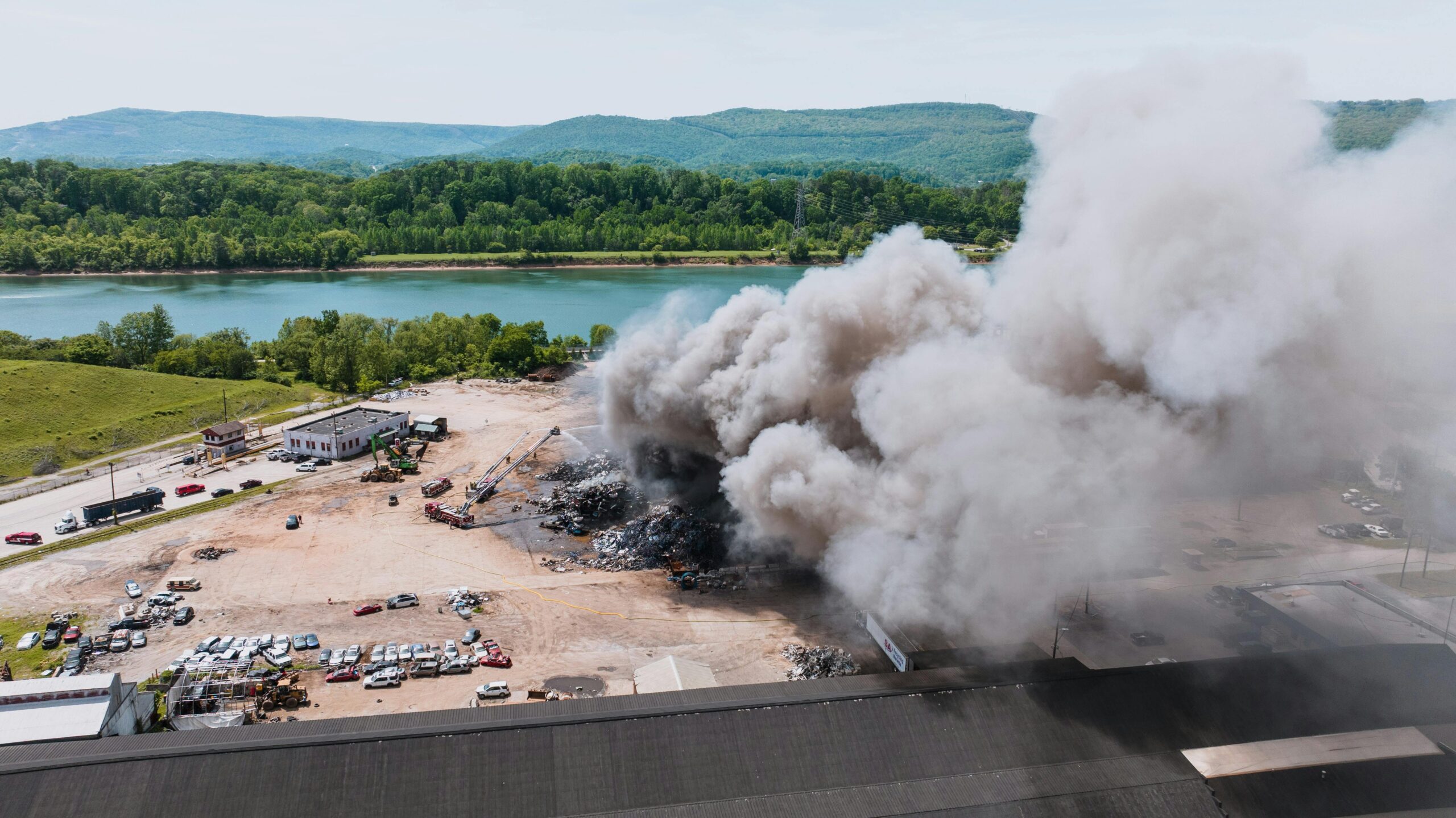
Wildfires spread not only through direct flame contact but also through firebrands—burning embers carried by wind that can ignite spot fires kilometers away from the main fire front.
Understanding how ember characteristics influence drift distance is crucial for wildfire prediction, prevention, and firefighting strategies. The physical properties of these airborne particles, including their size, mass, and shape, determine how far they travel and where they ultimately land, potentially starting new fires in previously unaffected areas.
Recent wildfire events worldwide have demonstrated the devastating impact of long-range spotting. From California’s massive wildfires to Australia’s catastrophic bushfires, ember transport has been identified as one of the primary mechanisms of rapid fire spread. Scientists and fire management professionals increasingly recognize that controlling wildfire propagation requires a deep understanding of firebrand behavior and the factors that maximize drift distance.
🔥 The Physics Behind Ember Transport
When vegetation burns during a wildfire, it generates countless embers of varying sizes and shapes. These burning particles become airborne through convective forces created by the fire’s intense heat. The rising column of hot air, known as a fire plume, carries embers upward before horizontal winds transport them across the landscape.
The distance an ember travels depends on a complex interplay of aerodynamic forces. Gravity constantly pulls the particle downward, while air resistance (drag) opposes its motion through the atmosphere. Meanwhile, turbulent winds provide lift and horizontal transport. The balance between these forces determines the ember’s trajectory and ultimate landing location.
Terminal velocity plays a critical role in ember transport. This is the constant speed a falling object reaches when the downward gravitational force equals the upward drag force. Embers with lower terminal velocities remain airborne longer, allowing winds to carry them greater distances before they descend to ground level.
Aerodynamic Principles Governing Drift
The drag force acting on an ember depends on several factors: the particle’s cross-sectional area, the air density, the relative velocity between the ember and surrounding air, and the drag coefficient. This coefficient varies significantly based on the ember’s shape and orientation during flight.
Spherical particles have well-defined drag coefficients, but natural embers rarely maintain perfect spherical shapes. Most firebrands are irregularly shaped fragments of bark, leaves, or wood, creating complex aerodynamic behaviors. These irregular shapes can tumble, rotate, or flutter during flight, constantly changing their effective cross-sectional area and drag coefficient.
📏 Size Matters: How Ember Dimensions Affect Distance
Ember size represents one of the most influential factors in determining drift distance. Larger embers generally have greater mass, which increases gravitational force pulling them downward. However, size also affects surface area, which influences both drag resistance and burning rate.
Small embers, typically less than 5 millimeters in diameter, experience high surface-area-to-volume ratios. This characteristic causes them to burn quickly, often consuming completely before landing. While these tiny particles can travel long distances due to minimal mass, many extinguish mid-flight, reducing their effectiveness as ignition sources.
Medium-sized embers, ranging from 5 to 20 millimeters, represent the sweet spot for long-distance spotting. These particles possess sufficient mass to maintain structural integrity during flight while remaining light enough for extended airborne transport. They also retain enough combustible material to remain burning upon landing, making them highly effective fire starters.
Large embers exceeding 20 millimeters face gravitational challenges. Their increased mass results in higher terminal velocities, causing them to descend more rapidly. However, under extreme fire conditions with powerful updrafts and high winds, even substantial bark pieces can travel surprising distances, occasionally exceeding several kilometers.
The Critical Size Range for Maximum Transport
Research indicates that embers between 10 and 15 millimeters achieve optimal drift distances under typical wildfire conditions. This size range balances competing factors: sufficient mass for wind resistance, adequate burning duration, and manageable weight for extended airborne travel.
Experimental studies using wind tunnels and computational fluid dynamics simulations have confirmed these findings. Scientists have tracked ember trajectories under controlled conditions, measuring drift distances for particles of various dimensions. The data consistently shows peak transport efficiency within this narrow size window.
⚖️ Mass Distribution and Density Considerations
While size provides a useful metric, mass and density offer more precise indicators of ember behavior. Two embers of identical dimensions can exhibit vastly different flight characteristics if their densities differ. Wood species, moisture content, and burning stage all influence ember density and mass.
Dense hardwood embers, such as those from oak or eucalyptus, possess greater mass per unit volume compared to lightweight softwood particles from pine or fir. This density difference affects both aerodynamic performance and burning characteristics. Denser embers typically fall faster but may retain heat longer, maintaining ignition capability throughout their flight.
Partially charred embers present particularly interesting cases. The charring process reduces overall mass while maintaining structural dimensions, effectively decreasing density. These lightweight, porous structures can achieve remarkable drift distances, sometimes surpassing expectations based on their apparent size.
Mass-to-Area Ratio: The Key Parameter
Fire scientists increasingly focus on mass-to-area ratio as the critical parameter for predicting ember transport. This metric combines mass and projected area into a single value that correlates strongly with terminal velocity and drift distance.
Embers with low mass-to-area ratios experience greater air resistance relative to their weight, resulting in lower terminal velocities and longer airborne times. These particles become particularly dangerous during wildfires because they can travel far beyond the main fire perimeter, creating spot fires in unexpected locations.
Calculating mass-to-area ratios for irregular embers presents technical challenges. Researchers employ various techniques, including high-speed photography, 3D scanning, and computational modeling, to characterize these complex particles accurately. Understanding these ratios helps fire managers predict spotting distances and establish appropriate safety zones.
🌀 Shape: The Underestimated Variable
Ember shape profoundly influences drift distance, yet it receives less attention than size or mass in popular discussions. The geometric configuration of a burning particle determines its aerodynamic efficiency, stability during flight, and interaction with turbulent air currents.
Flat, plate-like embers, such as bark fragments, exhibit distinctive flight behaviors. These shapes generate significant lift forces when oriented perpendicular to airflow, similar to airplane wings. This lift extends airborne time considerably, allowing horizontal winds to transport them across vast distances. Bark embers from species like eucalyptus and cypress have caused spot fires more than 10 kilometers ahead of advancing fire fronts.
Cylindrical embers, resembling twigs or branch fragments, display different characteristics. Their elongated shape creates varied drag depending on orientation. When aligned with airflow, they experience minimal resistance; when perpendicular, drag increases substantially. These particles often tumble during flight, creating an average drag higher than their minimum but lower than their maximum.
Complex Geometries and Aerodynamic Instability
Most natural embers possess irregular, complex geometries that defy simple classification. These shapes create aerodynamic instabilities causing unpredictable flight paths. Turbulent air currents interact with irregular surfaces, generating chaotic motion patterns that complicate trajectory prediction.
Some shapes prove particularly problematic for fire management. Curved bark pieces can act as sails, catching wind and gliding long distances. Leaf clusters, when partially burned, create parachute-like structures with exceptional hang time. Pine cone fragments combine density variations with complex surfaces, producing varied transport behaviors.
Advanced computational models now attempt to simulate these complex interactions. Researchers use discrete element modeling and fluid-structure interaction simulations to predict how irregularly shaped embers behave under various atmospheric conditions. These tools help fire managers anticipate spotting patterns and allocate resources accordingly.
🌬️ Environmental Factors Amplifying Drift Distance
While ember characteristics set the baseline for transport potential, environmental conditions determine actual drift distances. Wind speed, atmospheric stability, humidity, and terrain all modulate how far burning particles travel from their source.
Wind speed exhibits the most obvious influence. Higher velocity winds provide greater horizontal transport, carrying embers farther before they descend. During extreme fire events, winds exceeding 50 kilometers per hour can transport medium-sized embers more than 5 kilometers. The relationship isn’t perfectly linear, however, as very high winds can also increase turbulence, creating unpredictable trajectories.
Atmospheric stability affects vertical motion within fire plumes. Unstable atmospheric conditions, common on hot afternoons, promote vigorous updrafts that lift embers to greater heights. Once aloft, these particles enter stronger upper-level winds, dramatically extending potential drift distances.
Terrain and Landscape Interactions
Topography significantly influences ember transport patterns. Valleys can channel winds, creating jet-like flows that accelerate ember transport along specific corridors. Mountain slopes generate their own circulation patterns, with upslope winds during daytime potentially carrying embers to higher elevations where they ignite new fire fronts.
Urban environments introduce additional complexity. Buildings create turbulent wakes and wind shadows, causing embers to settle in unexpected locations. Studies of urban wildfires have revealed that embers accumulate in sheltered areas like gutters, roof valleys, and against walls—precisely the locations where ignition-prone materials often collect.
💡 Practical Applications for Fire Management
Understanding ember physics translates directly into improved wildfire management strategies. Fire agencies worldwide now incorporate ember transport modeling into operational planning, using predictions of maximum spotting distances to establish evacuation zones and deploy resources strategically.
Firefighters can use knowledge of ember characteristics to prioritize protection efforts. Knowing that medium-sized bark fragments pose the greatest long-distance spotting threat helps crews focus on vegetation types likely to produce such embers. Eucalyptus forests, for example, generate abundant fibrous bark embers that travel exceptional distances.
Building codes in fire-prone regions increasingly reflect ember impact research. Requirements for ember-resistant construction features—such as screened vents, non-combustible roofing, and sealed eaves—address the specific threat posed by wind-borne firebrands. These regulations recognize that ember attack, rather than direct flame contact, causes most structure ignitions during wildfires.
Predictive Modeling and Early Warning Systems
Modern wildfire prediction systems integrate ember transport models with weather forecasts and fuel conditions to generate spotting probability maps. These tools identify areas at risk from ember-initiated fires, sometimes hours before firebrands arrive. Such advance warning enables targeted evacuations and resource prepositioning.
Researchers continue refining these models by incorporating detailed ember characteristic databases. Field studies document the types, sizes, and shapes of embers produced by different vegetation species under various burning conditions. This empirical data improves model accuracy, enhancing operational utility for fire management agencies.
🔬 Cutting-Edge Research and Future Directions
Scientific investigation into ember transport remains an active research frontier. Advanced technologies enable unprecedented detail in measuring and modeling firebrand behavior. High-speed cameras capture ember flight dynamics, revealing aerodynamic phenomena invisible to the naked eye. Drone-mounted sensors track ember clouds in real wildfire environments, providing ground-truth data for model validation.
Machine learning approaches now analyze thousands of ember trajectories, identifying patterns that traditional physics-based models might miss. These artificial intelligence systems can predict landing distributions based on fire conditions, topography, and vegetation characteristics, potentially improving spot fire forecasts.
Laboratory experiments using artificial embers allow researchers to isolate specific variables. By testing particles of precisely controlled size, mass, and shape in wind tunnels, scientists quantify how each parameter influences drift distance. These controlled studies complement field observations, building comprehensive understanding of ember transport mechanisms.
🛡️ Protecting Communities from Ember Attack
For homeowners and communities in wildfire-prone regions, understanding ember threats informs effective protection strategies. Simple actions based on ember physics can dramatically reduce ignition risk during wildfire events.
Creating ember-resistant zones around structures addresses the landing and accumulation problem. Removing fine fuels within 5 meters of buildings eliminates materials that embers most easily ignite. Using gravel or hardscaping near structures prevents ember-ignited ground fires from spreading to walls.
Regular maintenance prevents ember entry into buildings. Cleaning gutters removes accumulated leaves and debris—materials that readily ignite when contacted by burning particles. Sealing gaps in roofing and siding denies embers access to building interiors where they might start smoldering fires that erupt hours after the main fire passes.
Community-scale planning incorporates ember transport knowledge into fuel management strategies. Creating fuel breaks perpendicular to prevailing winds during fire season can intercept ember showers before they reach residential areas. Strategic vegetation management reduces ember production in high-risk zones upwind of populated areas.
🌍 Global Perspectives on Ember-Driven Fire Spread
Different regions face unique ember-related challenges based on local vegetation and climate. Mediterranean ecosystems produce embers from drought-stressed shrubs and trees, while boreal forests generate particles from conifer bark and needles. Understanding regional ember characteristics helps tailor fire management approaches to local conditions.
Australia’s experience with eucalyptus-fueled fires provides valuable lessons. Eucalyptus bark sheds continuously, creating abundant fuel on the ground while also providing material for long-distance ember transport. Australian fire agencies have developed specialized strategies addressing this dual threat, including targeted fuel reduction and ember-resistant building standards.
North American fire managers contend with diverse vegetation types producing varied ember characteristics. Western conifer forests generate different spotting patterns than eastern deciduous forests or southern pine plantations. Recognizing these differences enables region-specific fire behavior predictions and customized protection strategies.
Climate change intensifies ember-related fire risks globally. Longer fire seasons, more extreme fire weather, and drought-stressed vegetation combine to increase both ember production and transport distances. Adapting management strategies to these changing conditions requires ongoing research into how shifting environmental factors affect ember behavior.
The science of ember transport continues evolving, driven by necessity as wildfires threaten expanding populations. By understanding how size, mass, and shape determine drift distance, we develop more effective strategies for predicting fire spread, protecting communities, and managing landscapes. This knowledge transforms ember particles from mysterious fire agents into understood phenomena, empowering better decisions that ultimately save lives and property in wildfire-prone regions worldwide.