Remote sensing and computer vision technologies are revolutionizing how we observe, analyze, and interact with our planet through advanced satellite systems, drones, and intelligent camera networks.
🌍 The Convergence of Remote Sensing and Computer Vision
The integration of remote sensing technology with computer vision has opened unprecedented opportunities for data collection and analysis across multiple industries. This powerful combination enables machines to interpret visual information from various platforms, transforming raw imagery into actionable intelligence that drives decision-making processes worldwide.
Remote sensing involves gathering information about objects or areas from a distance, typically through satellites, aircraft, or drones. When paired with computer vision—a field of artificial intelligence that trains computers to interpret visual data—these technologies create systems capable of automatically detecting patterns, identifying objects, and monitoring changes across vast geographical areas with remarkable precision.
The synergy between these technologies has become particularly significant as computational power increases and machine learning algorithms become more sophisticated. Organizations across agriculture, urban planning, environmental monitoring, disaster response, and national security are leveraging these tools to gain insights that were previously impossible or prohibitively expensive to obtain.
🛰️ Satellite Technology: Eyes in the Sky
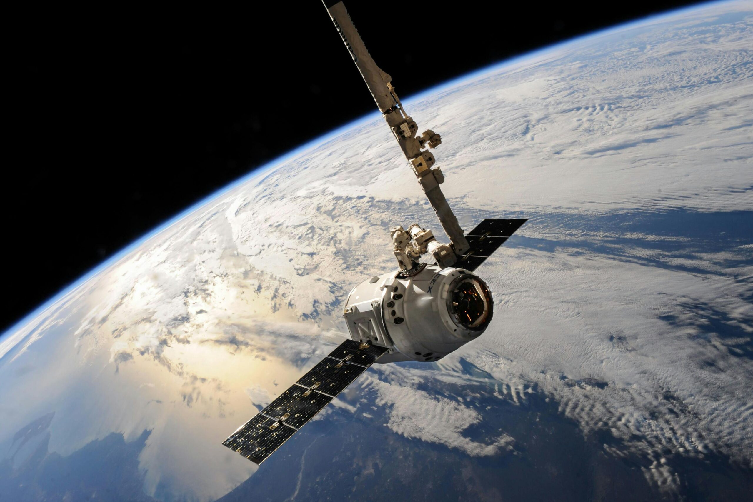
Satellites represent the most comprehensive remote sensing platform available today, offering global coverage and consistent data collection capabilities. Modern Earth observation satellites capture imagery across multiple spectral bands, from visible light to infrared and radar frequencies, providing diverse datasets for analysis.
The evolution of satellite technology has been remarkable. Early systems provided low-resolution imagery updated infrequently, but contemporary constellations like Planet Labs’ fleet of over 200 satellites can image the entire Earth’s landmass daily at resolutions sufficient to identify individual vehicles. This temporal frequency, combined with advanced computer vision algorithms, enables near real-time monitoring of global changes.
Commercial and Scientific Applications
Satellite-based remote sensing supports numerous applications that benefit society. Agricultural monitoring systems analyze crop health through vegetation indices, helping farmers optimize irrigation, detect disease outbreaks, and predict yields. Urban planners use satellite imagery processed through computer vision algorithms to track development patterns, assess infrastructure needs, and monitor environmental impacts.
Climate scientists rely heavily on satellite data to monitor deforestation, track glacier movements, measure sea level changes, and observe atmospheric conditions. When computer vision techniques are applied to decades of archived satellite imagery, researchers can identify long-term trends and validate climate models with unprecedented accuracy.
Technical Capabilities and Limitations
Modern satellites employ various sensor types, each with distinct advantages. Optical sensors capture sunlight reflected from Earth’s surface, providing intuitive imagery similar to photographs. Synthetic Aperture Radar (SAR) systems use microwave signals to penetrate clouds and darkness, enabling all-weather monitoring. Multispectral and hyperspectral sensors capture dozens or hundreds of narrow spectral bands, revealing information invisible to human eyes.
Despite their capabilities, satellites face limitations including atmospheric interference, orbital constraints that limit revisit times over specific locations, and the high costs associated with launching and operating space-based systems. These challenges drive the development of complementary technologies like drones and ground-based camera networks.
🚁 Drones: Flexible and Responsive Aerial Platforms
Unmanned Aerial Vehicles (UAVs), commonly known as drones, have democratized aerial remote sensing by providing affordable, flexible platforms for data collection. These systems bridge the gap between satellite observations and ground-based measurements, offering high-resolution imagery at customizable scales and schedules.
Drones equipped with cameras, multispectral sensors, LiDAR systems, and thermal imaging devices can be deployed rapidly to capture detailed information about specific areas of interest. Their relatively low operational costs and ease of deployment make them ideal for applications requiring frequent updates or focused investigation of smaller geographic areas.
Practical Applications Across Industries
The construction industry uses drones to monitor project progress, create 3D models of sites, and verify work completion. Computer vision algorithms process drone imagery to automatically measure earthwork volumes, detect safety violations, and compare as-built conditions against design specifications.
In agriculture, precision farming techniques rely on drone-collected data to optimize resource application. Multispectral cameras mounted on drones capture imagery that computer vision systems analyze to create prescription maps for variable-rate application of water, fertilizers, and pesticides, reducing costs while minimizing environmental impact.
Emergency response teams deploy drones to assess disaster damage, locate survivors, and coordinate relief efforts. During wildfires, floods, or earthquakes, drones equipped with thermal cameras and real-time video transmission capabilities provide situational awareness that informs tactical decisions and resource allocation.
Technological Advancements and Regulatory Environment
Recent advancements in drone technology include improved battery life extending flight times, obstacle avoidance systems enabling autonomous operation in complex environments, and edge computing capabilities allowing onboard processing of imagery. These improvements enhance the utility of drones for remote sensing applications.
However, regulatory frameworks governing drone operations vary significantly across jurisdictions. Most countries require operators to maintain visual line-of-sight, restrict flights near airports and sensitive areas, and obtain special permissions for commercial operations. These regulations balance safety concerns with the benefits of expanded drone usage.
📹 Smart Camera Networks: Persistent Ground-Level Monitoring
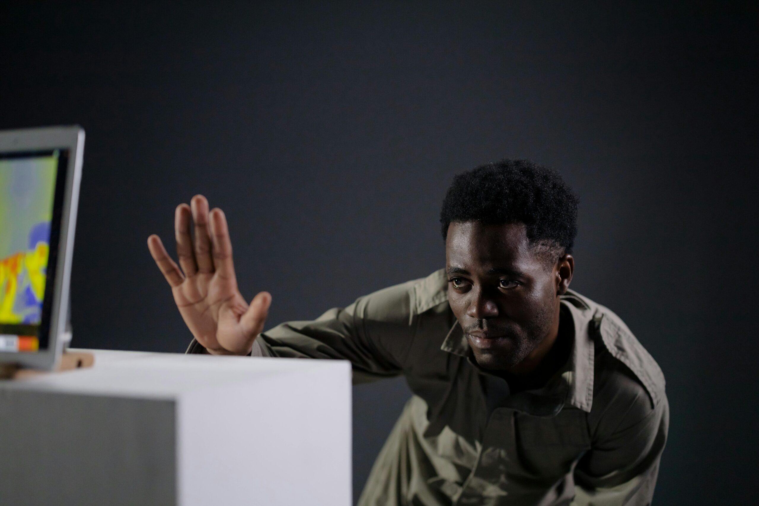
While satellites and drones provide aerial perspectives, smart camera networks deliver persistent, ground-level observations of specific locations. These systems consist of interconnected cameras equipped with edge computing devices that run computer vision algorithms locally, enabling real-time analysis and automated alerting.
Smart camera networks are increasingly deployed in urban environments for traffic management, public safety, and infrastructure monitoring. Unlike passive surveillance systems that merely record footage for later review, these intelligent networks actively analyze video streams to detect predefined events, recognize patterns, and trigger appropriate responses.
Urban Intelligence and Traffic Management
Cities worldwide implement smart camera networks to optimize traffic flow and reduce congestion. Computer vision algorithms analyze vehicle movements, classify transportation modes, count pedestrians, and detect incidents automatically. This information feeds adaptive traffic signal systems that adjust timing based on real-time conditions, improving throughput and reducing emissions.
Public transportation agencies use camera networks to monitor passenger volumes, ensure safety on platforms and vehicles, and verify that services operate on schedule. Automated systems can detect falls, identify unattended objects, and alert operators to situations requiring intervention.
Environmental and Infrastructure Monitoring
Smart cameras monitor environmental conditions in sensitive ecosystems, tracking wildlife movements, detecting illegal activities like poaching or logging, and measuring visitor impacts in protected areas. When integrated with other sensors measuring air quality, noise levels, and weather conditions, these systems provide comprehensive situational awareness.
Infrastructure operators deploy camera networks to monitor critical assets like bridges, dams, and pipelines. Computer vision algorithms detect cracks, corrosion, unauthorized access, and other anomalies, enabling predictive maintenance that prevents failures and extends asset lifespans.
🤖 Computer Vision Algorithms: Transforming Pixels into Insights
The true power of remote sensing platforms emerges when combined with sophisticated computer vision algorithms that automatically extract meaningful information from imagery. These algorithms have evolved dramatically with advances in deep learning, enabling systems to perform tasks that previously required human interpretation.
Object Detection and Classification
Modern computer vision systems can identify and classify thousands of object types within images with accuracy rivaling or exceeding human performance. Convolutional Neural Networks (CNNs) trained on millions of labeled examples learn to recognize vehicles, buildings, vegetation types, and countless other features across diverse imaging conditions.
In satellite imagery, object detection algorithms identify ships in ocean waters, monitor parking lot occupancy as economic indicators, and track military equipment movements. Drone imagery benefits from algorithms that detect crop diseases, count livestock, or identify damaged roof sections after storms.
Change Detection and Temporal Analysis
Comparing imagery captured at different times reveals changes that indicate important events or trends. Computer vision algorithms automate change detection across vast image archives, identifying new construction, deforestation, flooding extent, urban sprawl, and countless other phenomena.
Advanced temporal analysis techniques extract patterns from time-series imagery, distinguishing normal seasonal variations from anomalous changes requiring attention. These methods support early warning systems for crop failures, disease outbreaks, and environmental degradation.
Semantic Segmentation and Scene Understanding
Semantic segmentation algorithms classify every pixel in an image according to predefined categories, creating detailed maps that partition scenes into meaningful regions. These techniques generate land cover maps from satellite imagery, identify road surfaces in drone data, and segment video frames from camera networks into objects of interest.
Scene understanding goes beyond simple classification to comprehend spatial relationships, contextual information, and the probable activities occurring within observed areas. These capabilities enable systems to reason about complex situations and make intelligent decisions based on visual information.
🔄 Integration Strategies: Building Comprehensive Monitoring Systems
The greatest value emerges when satellite, drone, and camera network data streams are integrated into unified monitoring systems. This multi-scale approach combines the comprehensive coverage of satellites, the detailed flexibility of drones, and the persistent ground-level observations of camera networks.
Effective integration requires standardized data formats, coordinated collection schedules, and platforms capable of fusing information from diverse sources. Cloud computing infrastructure provides the scalability needed to store and process massive datasets, while APIs enable seamless data exchange between systems.
Case Study: Agricultural Monitoring
A comprehensive agricultural monitoring system might use satellite imagery to assess crop conditions across an entire region weekly. When anomalies are detected, drones are dispatched to investigate specific fields with higher resolution multispectral imagery. Ground-based cameras positioned throughout farms continuously monitor irrigation systems, equipment operation, and livestock behavior.
Computer vision algorithms process data from all three sources, creating a complete picture of farm operations. The system automatically alerts managers to irrigation failures, pest infestations, equipment malfunctions, or livestock health issues, enabling rapid response that minimizes losses and optimizes productivity.
Urban Planning and Smart Cities
Smart city initiatives leverage integrated remote sensing to manage urban environments more efficiently. Satellite data tracks overall urban expansion and land use patterns. Drones survey specific neighborhoods for building code compliance, infrastructure condition assessment, and 3D modeling. Street-level camera networks monitor traffic, parking availability, waste collection, and public space utilization.
The fusion of these data sources informs evidence-based policy decisions, optimizes service delivery, and improves quality of life for residents. Urban planners visualize how cities actually function rather than relying on outdated assumptions or limited sampling.
🔮 Emerging Trends and Future Developments
The field of remote sensing and computer vision continues evolving rapidly, driven by technological innovation and expanding application domains. Several trends promise to further enhance capabilities and accessibility in coming years.
Artificial Intelligence and Automated Analysis
Machine learning models are becoming increasingly sophisticated, enabling fully automated analysis pipelines that require minimal human oversight. Transfer learning techniques allow algorithms trained on one dataset to be adapted quickly for new applications, reducing the data and expertise needed to deploy systems.
Explainable AI methods address the “black box” problem by providing insights into how algorithms reach conclusions, building trust and enabling refinement of decision-making processes. This transparency is particularly important in applications affecting public safety or resource allocation.
Edge Computing and Real-Time Processing
Processing imagery directly on collection platforms rather than transmitting raw data to centralized servers reduces latency, bandwidth requirements, and costs. Edge computing enables drones to make autonomous navigation decisions, satellites to prioritize valuable imagery for downlink, and camera networks to respond immediately to detected events.
As processors become more powerful and energy-efficient, increasingly complex algorithms run at the edge, enabling true real-time intelligence from remote sensing platforms.
Miniaturization and Accessibility
Smaller, less expensive sensors and platforms are democratizing remote sensing capabilities. CubeSats—miniaturized satellites often built by universities or small companies—provide affordable access to space-based Earth observation. Consumer drones with advanced cameras cost less than high-end smartphones, enabling small organizations to conduct aerial surveys.
This democratization fosters innovation as diverse users apply remote sensing to novel problems, from conservation organizations monitoring endangered species to agricultural cooperatives optimizing smallholder farming practices.
⚡ Challenges and Ethical Considerations
Despite tremendous potential, remote sensing and computer vision technologies raise important challenges requiring thoughtful consideration. Privacy concerns emerge when persistent surveillance capabilities expand, particularly in urban environments where individuals expect reasonable anonymity in public spaces.
Balancing public benefits like improved safety and efficiency against individual privacy rights requires transparent policies, appropriate regulations, and technical measures like anonymization that protect identity while preserving analytical utility. Communities must engage in informed discussions about acceptable surveillance levels and appropriate safeguards.
Data Security and Misuse Prevention
The detailed information generated by remote sensing systems represents valuable assets requiring protection against unauthorized access or malicious use. Cybersecurity measures must secure data collection, transmission, storage, and analysis infrastructure against increasingly sophisticated threats.
Preventing misuse of capabilities for unauthorized surveillance, industrial espionage, or targeting of vulnerable populations demands robust governance frameworks, accountability mechanisms, and international cooperation on acceptable use norms.
Algorithmic Bias and Accuracy
Computer vision algorithms reflect biases present in training data, potentially perpetuating or amplifying existing inequities. Systems trained predominantly on data from specific geographic regions or demographic groups may perform poorly when applied elsewhere, leading to inaccurate conclusions and inappropriate decisions.
Addressing these issues requires diverse training datasets, rigorous validation across varied conditions, and ongoing monitoring of deployed systems to detect and correct performance disparities.
🌟 Transforming How We Understand Our World
The convergence of remote sensing platforms and computer vision algorithms is fundamentally changing humanity’s relationship with Earth’s surface and atmosphere. These technologies provide unprecedented visibility into natural and human systems, enabling evidence-based decision-making that addresses critical challenges from climate change to food security.
As capabilities expand and costs decrease, remote sensing transitions from specialized tool used by governments and large corporations to widely accessible technology empowering communities, researchers, and individuals. This democratization unlocks innovation and enables participation in global monitoring efforts by diverse stakeholders.
The integration of satellite observations, drone surveys, and smart camera networks creates comprehensive monitoring systems that operate across multiple scales and timeframes. When powered by sophisticated computer vision algorithms, these systems automatically extract actionable intelligence from vast imagery archives, overcoming human limitations in processing speed and attention span.
Looking forward, continued advances in sensors, platforms, algorithms, and computing infrastructure will further enhance remote sensing capabilities. The challenge lies not in technical feasibility but in ensuring these powerful tools serve beneficial purposes while respecting privacy, equity, and ethical considerations. By thoughtfully developing and deploying these technologies, we can unlock new perspectives that inform wiser stewardship of our planet and improve quality of life for all its inhabitants.